Provided services
Client
A startup that creates a parental monitoring solution for children or elderly parents.
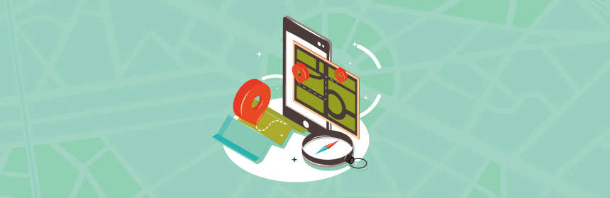
Product
A system for tracking the geographical position of people and other physical objects on Google Maps. The tracked object has a special GPS device, which sends the information to the server. The server stores and processes the geographic coordinates. The created web-based interface allows to mark up on Google map specific areas. The notifications will trigger when a physical object gets to these geographic areas. GPS devices can be equipped with alarm buttons. It can help to care for children or elderly parents to determine whether they are in a certain area.

Challenge
The client had pretty tight deadlines and did not have the best experience working with their previous contractor, who couldn’t complete the task.
The task involved a lot of research. At the same time, the project was already being launched live, so, as usual, there were high demands for the solution’s stability. It had to work equally stably in all browsers. At that time, there were problems with different JavaScript behavior in different browsers. It was necessary to quickly form a team and without delay start doing R&D.
Essentially, the main challenge for the business was the speed of implementation. Because a ready-made solution was used on the backend it was necessary to deploy it as quickly as possible, but at the same time as stably. Among other things, it was necessary to create an approximation algorithm, which was a non-trivial task requiring a mathematical approach.
In general, it was necessary to complete the task, complete it quickly, and ensure that the solution was stable.

Solution
Since the client already had a negative experience, it was decided to make daily releases so that the client could see where everything was going and how it was progressing. Without delay, the necessary tests and the necessary measurements were made, and the entire ecosystem was prepared so that the solution was as stable as possible.
Our team developed a web-based interface, which extends the standard features of Google Maps. The geofence drawing tool was added. After the geofence had been drawn, the figure approximation (smoothing) algorithm was executed. The user can edit the geofences, stretch them, add new points, and assign a text label. Web interface displays created by user geofences using the Wialon Kit API server.
We implemented Agile methodology within the project, ensuring daily stand-up meetings and regular demo sessions to enhance collaboration, transparency, and adaptability throughout the development process.

Testimonial

"With the JazzTeam Company we started develop the project based on GPS technologies, devices and specialized geolocation servers. The system was planned to have an interactive web-interface based on Google and Yandex maps using their API.
JazzTeam team showed good R&D ability to develop and implement a mathematical approximation algorithm of geographic areas drawn on the maps. It was a non-trivial task and could cause high risks, but all tasks have been implemented on time or ahead of schedule.
JazzTeam staff met us halfway, all the contentious issues have been successfully overcome. JazzTeam developers pay much attention to communication and clearly defined Agile processes. They considered all our wishes and reviews, proposed their own new ideas. All made improvements that helped to create the most convenient for users' product.
Additionally, I want to note that previous developers have not been able to realize this task."
Result
Web interface for work with geofences on Google Maps was realized and transferred to backend developers. The task estimation to develop a similar solution for Yandex Maps has been done.
The curve approximation algorithm was developed, applied, and successfully adapted, it was the maximum risk of this project. The team was engaged in the algorithm optimization as long as the customer was not fully satisfied with the algorithm.
R&D investigation for customization of standard Google Maps features was conducted, and solutions that meet customer requirements were found. All customer requirements were fulfilled.

Technologies
JavaScript, Google Maps API, HTML, CSS, Wialon Kit – saas platform for GPS tracking, Git, Redmine.